| Location |
| City: | | Charlottetown, Prince Edward Island, Canada |
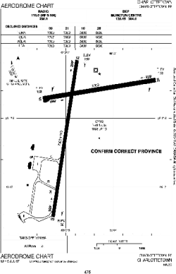
| Name: | Charlottetown Airport |
| ICAO / IATA: | CYYG / YYG |
Details |
| Type: | Airport (Airfield) |
| Use: | Public/Civil |
| Latitude: | 46°17'21"N (46.289167) |
| Longitude: | 63°07'09"W (-63.119166) |
| Elevation: | 159 ft (48 m) |
| Runways: | 2 |
| Longest: | 7000 ft (2134 m) |
Time |
| Timezone: | UTC+30:08 (DST+33:08) |
| Local Time: | |
Weather |
| METAR: | CYYG | 041400Z CCA 18017KT 10SM -SN DRSN OVC016 M05/M06 A3000 RMK SC8 SLP164
|
| TAF: | CYYG | 041139Z 0412/0424 16012KT 6SM -SN OVC030 TEMPO 0412/0416 11/2SM -SN OVC015 BECMG 0412/0414 18012G22KT
FM041600 18012G22KT 3SM -SN OVC015
FM041800 22012G22KT P6SM OVC015
FM042100 26010KT 3SM -SHSNRA BR BKN008 OVC015 BECMG 0422/0424 02008KT RMK NXT FCST BY 041800Z
|
Related Locations |
| Nearby: | |
| Farthest: | YDEK: 11647 mi / 18743 km
Denmark, WA, AU |
Find: |
|
Other Information |
Maps:
|
Sources:
|
|