| Location |
| City: | | Kapuskasing, Ontario, Canada |
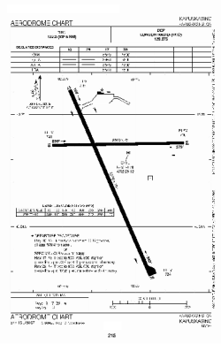
| Name: | Kapuskasing Airport |
| ICAO / IATA: | CYYU / YYU |
Details |
| Type: | Airport (Airfield) |
| Use: | Public/Civil |
| Latitude: | 49°24'42"N (49.411667) |
| Longitude: | 82°28'06"W (-82.468332) |
| Elevation: | 743 ft (226 m) |
| Runways: | 2 |
| Longest: | 5506 ft (1678 m) |
Time |
| Timezone: | UTC+29:08 (DST+32:08) |
| Local Time: | |
Weather |
| METAR: | CYYU | 041400Z 03006KT 2 1/2SM -SN SCT014 OVC038 M21/M24 A3008 RMK SN2SC2SC4 SLP213
|
| TAF: | CYYU | 041338Z 0414/0502 03008KT 2SM -SN OVC012 TEMPO 0414/0418 6SM -SN BECMG 0415/0417 07010KT
FM041800 07012G22KT 1SM -SN OVC010 TEMPO 0418/0421 6SM -SN
FM042100 07012G22KT 3/4SM -SN VV007 PROB30 0422/0424 1/2SM SN
FM050000 04012G22KT 11/2SM -SN OVC010 TEMPO 0500/0502 3SM -SN RMK NXT FCST BY 042000Z
|
Related Locations |
| Nearby: | |
| Farthest: | YCSK: 11171 mi / 17978 km
Casey Station [Casey Station Skiway], Wilkes Land, AQ |
Find: |
|
Other Information |
Maps:
|
Sources:
|
|