| Location |
| City: | | Mont-Joli, Québec, Canada |
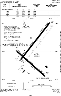
| Name: | Mont-Joli Airport |
| ICAO / IATA: | CYYY / YYY |
Details |
| Type: | Airport (Airfield) |
| Use: | Public/Civil |
| Latitude: | 48°36'32"N (48.608889) |
| Longitude: | 68°12'27"W (-68.207499) |
| Elevation: | 172 ft (52 m) |
| Runways: | 2 |
| Longest: | 5000 ft (1524 m) |
Time |
| Timezone: | UTC+29:08 (DST+32:08) |
| Local Time: | |
Weather |
| METAR: | CYYY | 041400Z 25011KT 10SM OVC010 M06/M09 A2991 RMK SC8 SLP135
|
| TAF: | CYYY | 041338Z 0414/0502 24008KT 5SM -FZDZ -SN BR OVC015 TEMPO 0414/0416 P6SM -SN OVC025
FM041600 26012KT P6SM BKN015 OVC030 TEMPO 0416/0418 SCT015 OVC030 PROB40 0416/0418 5SM -FZDZ -SN
FM041800 29010KT P6SM BKN020 OVC120 TEMPO 0418/0420 SCT020 OVC120
FM042000 30005KT P6SM BKN120
FM050000 30005KT P6SM SCT120 RMK NXT FCST BY 042000Z
|
Related Locations |
| Nearby: | |
| Farthest: | YDEK: 11445 mi / 18419 km
Denmark, WA, AU |
Find: |
|
Other Information |
Maps:
|
Sources:
|
|