| Location |
| City: | | Slave Lake, Alberta, Canada |
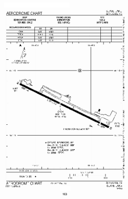
| Name: | Slave Lake Airport |
| ICAO / IATA: | CYZH / YZH |
Details |
| Type: | Airport (Airfield) |
| Use: | Public/Civil |
| Latitude: | 55°17'35"N (55.293056) |
| Longitude: | 114°46'38"W (-114.777221) |
| Elevation: | 1912 ft (583 m) |
| Runways: | 1 |
| Longest: | 5569 ft (1697 m) |
Time |
| Timezone: | UTC+27:08 (DST+30:08) |
| Local Time: | |
Weather |
| METAR: | CYZH | 041421Z AUTO 03003KT 3SM -SN SCT033 OVC130 M31/M34 A3027 RMK SLP334
|
| TAF: | CYZH | 041238Z 0413/0501 VRB03KT P6SM -SN SCT040 TEMPO 0413/0414 2SM -SN BR OVC040
FM041500 09005KT P6SM FEW120 TEMPO 0415/0501 4SM IC BR PROB30 0415/0419 1SM IC BR RMK FCST BASED ON AUTO OBS. NXT FCST BY 041900Z
|
Related Locations |
| Nearby: | |
| Farthest: | FAME: 11122 mi / 17899 km
Marion Island, Prince Edward Islands, WC, ZA |
Find: |
|
Other Information |
Maps:
|
Sources:
|
|