| Location |
| City: | | Brussels, Vlaams-Brabant (Flemish Brabant), Belgium |
| Near (Alt.): | Zaventem |
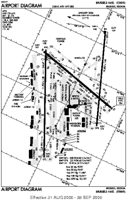
| Name: | Brussels Airport (Brussels National Airport) |
| ICAO / IATA: | EBBR / BRU |
Details |
| Type: | Airport (Aerodrome, Airfield) |
| Use: | Public/Civil, Military |
| Latitude: | 50°54'05"N (50.901389) |
| Longitude: | 4°29'04"E (4.484444) |
| Datum: | WGS 1984 |
| Elevation: | 184 ft (56 m) |
| Runways: | 3 |
| Longest: | 11936 × 148 ft (3638 × 45 m) |
Time |
| Timezone: | UTC+1 (DST+4) |
| Local Time: | |
Weather |
| METAR: | EBBR | 041350Z 21019G30KT 9999 -RA SCT023 BKN044 03/M01 Q1023 BECMG 3000 RASN BKN010
|
| TAF: | EBBR | 041100Z 0412/0518 19015G25KT 9999 BKN030 BECMG 0414/0415 BKN008 TEMPO 0415/0419 3000 RASN BKN004 BECMG 0423/0501 22009KT TEMPO 0502/0509 4000 BR BKN003
|
Related Locations |
| Nearby: | |
| Farthest: | CHT: 11938 mi / 19212 km
Waitangi [Tuuta], CIT, NZ |
Find: |
|
Other Information |
Maps:
|
Links:
|
Sources:
|
|