| Location |
| City: | | Montréal, Québec, Canada |
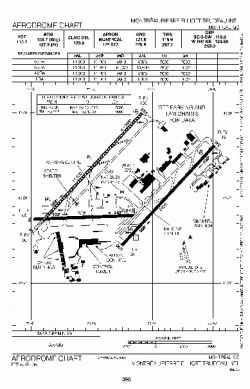
| Name: | Pierre Elliott Trudeau International (Dorval) |
| ICAO / IATA: | CYUL / YUL |
Details |
| Type: | Airport (Airfield) |
| Use: | Public/Civil |
| Latitude: | 45°28'14"N (45.470556) |
| Longitude: | 73°44'27"W (-73.740832) |
| Elevation: | 118 ft (36 m) |
| Runways: | 3 |
| Longest: | 11000 ft (3353 m) |
Time |
| Timezone: | UTC+29:08 (DST+32:08) |
| Local Time: | |
Weather |
| METAR: | CYUL | 041400Z 00000KT 2 1/2SM -FZDZ -SN BR FEW004 BKN014 OVC022 M06/M07 A3000 RMK SF1SC5SC2 SLP162
|
| TAF: | CYUL | 041148Z 0412/0512 VRB03KT 2SM -FZDZ BR OVC005 TEMPO 0412/0505 6SM -SN OVC010 BECMG 0414/0416 07007KT
FM050500 02005KT 2SM -FZRA BR OVC004
FM050800 23010KT 4SM -DZ BR OVC010 BECMG 0509/0511 25015G25KT RMK NXT FCST BY 041500Z
|
Related Locations |
| Nearby: | |
| Farthest: | YAUG: 11532 mi / 18559 km
Augusta [Augusta Airport], WA, AU |
Find: |
|
Other Information |
Maps:
|
Links:
|
Sources:
|
|