| Location |
| City: | | Vancouver, British Columbia, Canada |
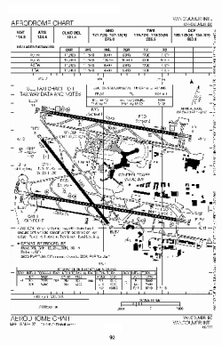
| Name: | Vancouver International Airport |
| ICAO / IATA: | CYVR / YVR |
Details |
| Type: | Airport (Airfield) |
| Use: | Public/Civil |
| Latitude: | 49°11'41"N (49.194722) |
| Longitude: | 123°11'02"W (-123.183888) |
| Elevation: | 13 ft (4 m) |
| Runways: | 3 |
| Longest: | 11500 ft (3505 m) |
Time |
| Timezone: | UTC+26:08 (DST+29:08) |
| Local Time: | |
Weather |
| METAR: | CYVR | 041418Z 12003KT 8SM -SN BKN014 BKN020 OVC028 M05/M09 A2968 RMK SC5SC2SC1 SLP052
|
| TAF: | CYVR | 041138Z 0412/0518 13008KT P6SM FEW020 BKN050 BKN100 TEMPO 0412/0416 4SM -SHSN BKN020 OVC050
FM042000 31005KT P6SM FEW080 SCT150
FM050000 30008KT P6SM SKC BECMG 0502/0504 10008KT RMK NXT FCST BY 041500Z
|
Related Locations |
| Nearby: | |
| Farthest: | FAME: 11548 mi / 18585 km
Marion Island, Prince Edward Islands, WC, ZA |
Find: |
|
Other Information |
Maps:
|
Links:
|
Sources:
|
|