| Location |
| City: | | Hamburg, Hamburg, Germany |
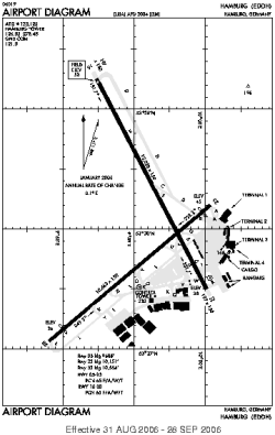
| Name: | Fuhlsbüttel |
| ICAO / IATA: | EDDH / HAM |
Details |
| Type: | Airport (Flugplatz, Airfield) |
| Use: | Public/Civil |
| Latitude: | 53°37'49"N (53.630389) |
| Longitude: | 9°59'18"E (9.988228) |
| Datum: | WGS 1984 |
| Elevation: | 53 ft (16 m) |
| Runways: | 2 |
| Longest: | 12028 × 150 ft (3666 × 45.5 m) |
Time |
| Timezone: | UTC+1 (DST+4) |
| Local Time: | |
Weather |
| METAR: | EDDH | 041350Z 20017KT CAVOK 04/M02 Q1022 TEMPO 21015G25KT
|
| TAF: | EDDH | 041100Z 0412/0518 21015KT CAVOK TEMPO 0412/0424 21015G25KT TEMPO 0419/0504 4500 -RASN BKN014 PROB30 TEMPO 0419/0422 21020G30KT 2500 -SN BKN008 BECMG 0501/0503 24010KT BECMG 0504/0507 SCT008 BKN013 TEMPO 0504/0510 BKN008 PROB30 TEMPO 0504/0510 BKN004 BECMG 0510/0512 SCT012 BKN035
|
Related Locations |
| Nearby: | |
| Farthest: | CHT: 11692 mi / 18817 km
Waitangi [Tuuta], CIT, NZ |
Find: |
|
Other Information |
Maps:
|
Sources:
|
|