| Location |
| City: | | Djibouti, Djibouti |
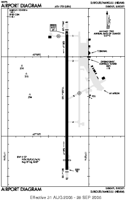
| Name: | Ambouli International Airport |
| ICAO / IATA: | HDAM / JIB |
Details |
| Type: | Airport (Aerodrome, Airfield) |
| Use: | Public/Civil, Military |
| Latitude: | 11°32'50"N (11.547331) |
| Longitude: | 43°09'34"E (43.159481) |
| Datum: | WGS 1984 |
| Elevation: | 49 ft (15 m) |
| Runways: | 1 |
| Longest: | 10335 × 150 ft (3150 × 45.5 m) |
Time |
| Timezone: | UTC+3 (DST+5) |
| Local Time: | |
Weather |
| METAR: | HDAM | 041200Z 09014KT 9999 SCT023 29/20 Q1015
|
| TAF: | HDAM | 040500Z 0406/0506 10010KT SCT023 BECMG 0415/0418 VRB05KT SCT020 BECMG 0500/0506 00000KT SCT020
|
Related Locations |
| Nearby: | |
| Farthest: | AUQ: 12249 mi / 19713 km
Atuona, Marquesas Islands, PF |
Find: |
|
Other Information |
Maps:
|
Links:
|
Sources:
|
|