| Location |
| City: | | Cagliari, Sardinia, Italy |
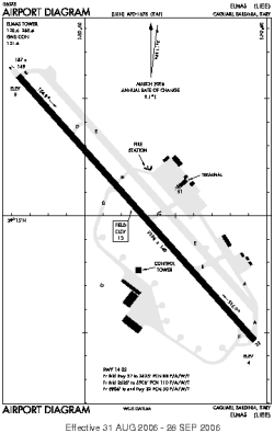
| Name: | Cagliari-Elmas Airport |
| ICAO / IATA: | LIEE / CAG |
Details |
| Type: | Airport (Aerodrome, Airfield) |
| Use: | Public/Civil, Military |
| Latitude: | 39°15'05"N (39.251469) |
| Longitude: | 9°03'15"E (9.054283) |
| Datum: | WGS 1984 |
| Elevation: | 13 ft (4 m) |
| Runways: | 1 |
| Longest: | 9196 × 148 ft (2803 × 45 m) |
Time |
| Timezone: | UTC+1 (DST+4) |
| Local Time: | |
Weather |
| METAR: | LIEE | 041350Z 35009KT 320V020 9999 FEW040 15/06 Q1015
|
| TAF: | LIEE | 041100Z 0412/0512 35010KT 9999 SCT040= TAF LIEO 041100Z 0412/0512 02012KT 9999 SCT030
|
Related Locations |
| Nearby: | |
| Farthest: | CHT: 12010 mi / 19328 km
Waitangi [Tuuta], CIT, NZ |
Find: |
|
Other Information |
Maps:
|
Sources:
|
|