| Location |
| City: | | Naples, Campania, Italy |
| Near (Alt.): | Napoli |
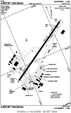
| Name: | Naples International (Capodichino) |
| ICAO / IATA: | LIRN / NAP |
Details |
| Type: | Airport (Aerodrome, Airfield) |
| Use: | Public/Civil, Military |
| Latitude: | 40°53'10"N (40.886033) |
| Longitude: | 14°17'27"E (14.290781) |
| Datum: | WGS 1984 |
| Elevation: | 294 ft (90 m) |
| Runways: | 1 |
| Longest: | 8622 × 148 ft (2628 × 45 m) |
Time |
| Timezone: | UTC+1 (DST+4) |
| Local Time: | |
Weather |
| METAR: | LIRN | 041350Z 05014KT 9999 -DZ FEW045 BKN070 12/07 Q1013 NOSIG
|
| TAF: | LIRN | 041100Z 0412/0512 04012KT 9999 SCT030 TEMPO 0416/0424 4000 SHRA BECMG 0420/0422 04018G28KT
|
Related Locations |
| Nearby: | |
| Farthest: | CHT: 11854 mi / 19078 km
Waitangi [Tuuta], CIT, NZ |
Find: |
|
Other Information |
Maps:
|
Links:
|
Sources:
|
|