| Location |
| City: | | Paris, Île-de-France, France |
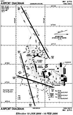
| Name: | Orly |
| ICAO / IATA: | LFPO / ORY |
Details |
| Type: | Airport (Aerodrome, Airfield) |
| Use: | Public/Civil |
| Latitude: | 48°43'24"N (48.723333) |
| Longitude: | 2°22'46"E (2.379444) |
| Elevation: | 291 ft (89 m) |
| Runways: | 3 |
| Longest: | 11975 × 148 ft (3650 × 45 m) |
Time |
| Timezone: | UTC+1 (DST+4) |
| Local Time: | |
Weather |
| METAR: | LFPO | 041400Z 19008KT 160V220 CAVOK 03/M01 Q1025 NOSIG
|
| TAF: | LFPO | 041100Z 0412/0518 18010KT CAVOK BECMG 0413/0415 -RASN BKN012 TEMPO 0415/0420 1800 -SN BKN004 BECMG 0421/0423 NSW BKN004 TEMPO 0423/0508 2000 BR BKN002 BECMG 0511/0513 BKN012
|
Related Locations |
| Nearby: | |
| Farthest: | CHT: 12086 mi / 19451 km
Waitangi [Tuuta], CIT, NZ |
Find: |
|
Other Information |
Maps:
|
Sources:
|
|