| Location |
| City: | | Ramstein, Rhineland-Palatinate, Germany |
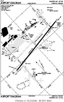
| Name: | Ramstein AFB |
| ICAO / IATA: | ETAR / RMS |
Details |
| Type: | Airport (Flugplatz, Airfield) |
| Use: | Military |
| Latitude: | 49°26'13"N (49.436911) |
| Longitude: | 7°36'01"E (7.600283) |
| Datum: | WGS 1984 |
| Elevation: | 776 ft (237 m) |
| Runways: | 2 |
| Longest: | 10498 × 148 ft (3200 × 45 m) |
Time |
| Timezone: | UTC+1 (DST+4) |
| Local Time: | |
Weather |
| METAR: | ETAR | 041356Z AUTO 18004KT 9999 CLR 05/03 A3032 RMK AO2 SLP284 T00500032 $
|
| TAF: | ETAR | 041001Z 0410/0516 VRB06KT 9999 FEW050 QNH3028INS BECMG 0504/0505 VRB06KT 8000 BR SCT010 BKN040 610403 QNH3030INS BECMG 0508/0509 VRB06KT 9999 NSW SCT030 QNH3033INS TX04/0412Z TNM04/0507Z
|
Related Locations |
| Nearby: | |
| Farthest: | CHT: 11998 mi / 19309 km
Waitangi [Tuuta], CIT, NZ |
Find: |
|
Other Information |
Maps:
|
Links:
|
Sources:
|
|