| Location |
| City: | | Iquique, Tarapacá, Chile |
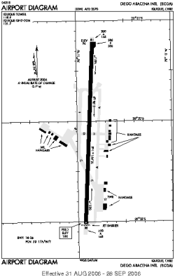
| Name: | Diego Aracena International Airport |
| ICAO / IATA: | SCDA / IQQ |
Details |
| Type: | Airport (Aerodrome, Airfield) |
| Use: | Public/Civil |
| Latitude: | 20°32'07"S (-20.535277) |
| Longitude: | 70°10'53"W (-70.181388) |
| Elevation: | 156 ft (48 m) |
| Runways: | 1 |
| Longest: | 10991 × 148 ft (3350 × 45 m) |
Time |
| Timezone: | UTC+30:08 (DST+33:08) |
| Local Time: | |
Weather |
| METAR: | SCDA | 041400Z 28006KT CAVOK 23/18 Q1012
|
| TAF: | SCDA | 041029Z 0412/0512 18004KT 9999 FEW037 BKN230 TX26/0417Z TN21/0506Z BECMG 0414/0416 22016KT BECMG 0502/0504 11004KT CAVOK
|
Related Locations |
| Nearby: | |
| Farthest: | HAK: 12378 mi / 19920 km
Haikou [Meilan Intl], HI, CN |
Find: |
|
Other Information |
Maps:
|
Sources:
|
|