| Location |
| City: | | Deer Lake, Newfoundland and Labrador, Canada |
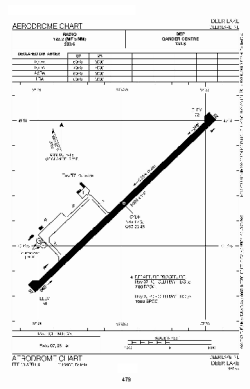
| Name: | Deer Lake Regional Airport |
| ICAO / IATA: | CYDF / YDF |
Details |
| Type: | Airport (Airfield) |
| Use: | Public/Civil |
| Latitude: | 49°12'33"N (49.209167) |
| Longitude: | 57°23'40"W (-57.394443) |
| Elevation: | 72 ft (22 m) |
| Runways: | 1 |
| Longest: | 8005 ft (2440 m) |
Time |
| Timezone: | UTC+30:38 (DST+33:38) |
| Local Time: | |
Weather |
| METAR: | CYDF | 041400Z 21009KT 15SM SCT020 OVC100 M08/M12 A3008 RMK SC3AC5 SLP188
|
| TAF: | CYDF | 041341Z 0414/0502 23007KT P6SM SCT020 OVC120 TEMPO 0414/0417 5SM -SHSN BKN020 OVC100
FM041700 21008KT 2SM -SN BKN020 OVC030 TEMPO 0417/0423 6SM -SN SCT020 OVC030 PROB40 0417/0423 11/2SM -SN
FM042300 VRB03KT 4SM -SN OVC008 PROB30 0423/0502 2SM -FZDZ BR RMK NXT FCST BY 042000Z
|
Related Locations |
| Nearby: | |
| Farthest: | ALH: 11416 mi / 18372 km
Albany, WA, AU |
Find: |
|
Other Information |
Maps:
|
Sources:
|
|