| Location |
| City: | | Saint John, New Brunswick, Canada |
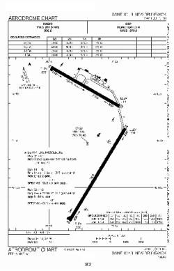
| Name: | Saint John Airport |
| ICAO / IATA: | CYSJ / YSJ |
Details |
| Type: | Airport (Airfield) |
| Use: | Public/Civil |
| Latitude: | 45°18'58"N (45.316111) |
| Longitude: | 65°53'24"W (-65.889999) |
| Elevation: | 357 ft (109 m) |
| Runways: | 2 |
| Longest: | 7005 ft (2135 m) |
Time |
| Timezone: | UTC+30:08 (DST+33:08) |
| Local Time: | |
Weather |
| METAR: | CYSJ | 041400Z 21019G24KT 3SM -RA BR OVC005 02/01 A2997 RMK FG3SC5 SLP156
|
| TAF: | CYSJ | 041139Z 0412/0424 17012KT 2SM -SNRA BR OVC004 TEMPO 0412/0414 6SM -SN OVC008 PROB30 0412/0414 3/4SM -FZDZ BR
FM041400 21012KT 3/4SM -RA -DZ BR OVC003
FM041800 23012KT 2SM BR BKN004 OVC010
FM042000 24005KT 6SM BR SCT004 BKN015 BECMG 0422/0424 VRB03KT RMK NXT FCST BY 041800Z
|
Related Locations |
| Nearby: | |
| Farthest: | YDEK: 11694 mi / 18820 km
Denmark, WA, AU |
Find: |
|
Other Information |
Maps:
|
Links:
|
Sources:
|
|