| Location |
| City: | | Toronto, Ontario, Canada |
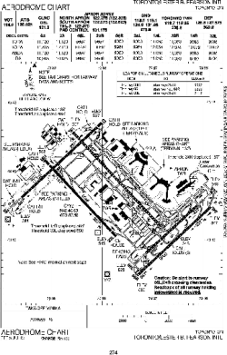
| Name: | Lester B. Pearson International Airport |
| ICAO / IATA: | CYYZ / YYZ |
Details |
| Type: | Airport (Airfield) |
| Use: | Public/Civil |
| Latitude: | 43°40'36"N (43.676667) |
| Longitude: | 79°37'50"W (-79.630555) |
| Elevation: | 569 ft (173 m) |
| Runways: | 5 |
| Longest: | 11120 ft (3389 m) |
Time |
| Timezone: | UTC+29:08 (DST+32:08) |
| Local Time: | |
Weather |
| METAR: | CYYZ | 041400Z 13005KT 8SM SCT030 BKN082 06/04 A2991 RMK SC3AC4 SLP134
|
| TAF: | CYYZ | 041139Z 0412/0518 VRB03KT P6SM SCT015 BKN030 TEMPO 0412/0417 BKN015 BECMG 0413/0415 19012KT
FM041700 20012KT P6SM SCT030 TEMPO 0417/0420 BKN030
FM042000 20015KT P6SM SCT020 BKN170
FM042300 20015G25KT P6SM -RA OVC030
FM050200 21015KT 2SM -DZ -RA BR OVC010
FM050500 25015KT P6SM BKN015 BECMG 0506/0508 30010KT BECMG 0509/0511 30010G20KT
FM051400 31010G20KT P6SM SCT020
FM051700 32010KT P6SM FEW030 RMK NXT FCST BY 041500Z
|
Related Locations |
| Nearby: | |
| Farthest: | YAUG: 11416 mi / 18372 km
Augusta [Augusta Airport], WA, AU |
Find: |
|
Other Information |
Maps:
|
Links:
|
Sources:
|
|