| Location |
| City: | | Albany, Georgia, United States |
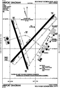
| Name: | Southwest Georgia Regional |
| ICAO / IATA: | KABY / ABY |
| FAA: | ABY |
Details |
| Type: | Airport (Part 139 Class I) |
| Use: | Public/Civil |
| Latitude: | 31°32'08"N (31.535528) |
| Longitude: | 84°11'40"W (-84.194471) |
| Datum: | WGS 1984 |
| Elevation: | 196 ft (60 m) |
| Runways: | 2 |
| Longest: | 6601 × 148 ft (2012 × 45 m) |
Time |
| Timezone: | UTC+29:08 (DST+32:08) |
| Local Time: | |
Weather |
| METAR: | KABY | 041418Z 00000KT 6SM BR OVC003 12/11 A3013 RMK AO2 T01220111
|
| TAF: | KABY | 041148Z 0412/0512 00000KT 4SM BR BKN015
FM041500 14004KT P6SM BKN015
FM041900 20004KT P6SM BKN025 BKN050
FM050400 00000KT 1SM BR SCT001 BKN010
FM050700 00000KT 1/2SM FG BKN003
|
Related Locations |
| Nearby: | |
| Farthest: | USL: 11317 mi / 18212 km
Useless Loop, WA, AU |
Find: |
|
Other Information |
Maps:
|
Delays:
|
Links:
|
Sources:
|
|