| Location |
| City: | | Anchorage, Alaska, United States |
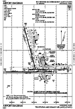
| Name: | Ted Stevens Anchorage International Airport |
| ICAO / IATA: | PANC / ANC |
| FAA: | ANC |
Details |
| Type: | Airport (Part 139 Class I) |
| Use: | Public/Civil |
| Latitude: | 61°10'27"N (61.174085) |
| Longitude: | 149°59'53"W (-149.998137) |
| Datum: | WGS 1984 |
| Elevation: | 151 ft (46 m) |
| Runways: | 3 |
| Longest: | 12400 × 200 ft (3780 × 61 m) |
Time |
| Timezone: | UTC+25:08 (DST+28:08) |
| Local Time: | |
Weather |
| METAR: | PANC | 041412Z 36006KT 10SM FEW007 FEW033 BKN042 M04/M06 A3004 RMK AO2 T10441061 $
|
| TAF: | PANC | 041304Z 0413/0518 01006KT P6SM VCFG FEW005 SCT015 OVC035 TEMPO 0413/0416 2SM -FZDZSN BR FEW005 OVC015
FM041600 36003KT P6SM SCT025 BKN060
FM050600 01006KT P6SM SCT020 OVC035
FM051200 01005KT 4SM -SN BR OVC025 WS020/13035KT
FM051500 01004KT 1 1/2SM -SN BR OVC025 WS020/13035KT
|
Related Locations |
| Nearby: | |
| Farthest: | FAME: 11393 mi / 18335 km
Marion Island, Prince Edward Islands, WC, ZA |
Find: |
|
Other Information |
Maps:
|
Delays:
|
Links:
|
Sources:
|
|