| Location |
| City: | | Columbus, Georgia, United States |
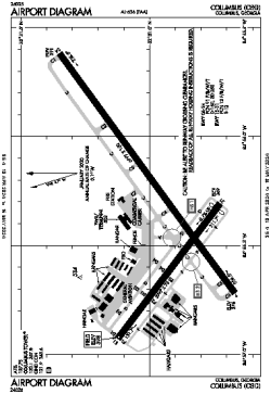
| ICAO / IATA: | KCSG / CSG |
| FAA: | CSG |
Details |
| Type: | Airport (Part 139 Class I) |
| Use: | Public/Civil |
| Latitude: | 32°30'59"N (32.516333) |
| Longitude: | 84°56'20"W (-84.938860) |
| Datum: | WGS 1984 |
| Elevation: | 397 ft (121 m) |
| Runways: | 2 |
| Longest: | 6997 × 150 ft (2133 × 45.5 m) |
Time |
| Timezone: | UTC+29:08 (DST+32:08) |
| Local Time: | |
Weather |
| METAR: | KCSG | 041415Z 13003KT 1/4SM R06/1400V2000FT FG VV002 10/09 A3012 RMK AO2 T01000094
|
| TAF: | KCSG | 041402Z 0414/0512 00000KT 5SM BR BKN004 TEMPO 0414/0416 3/4SM BR
FM041600 00000KT P6SM OVC020
FM041800 19004KT P6SM BKN030 OVC060
FM050500 00000KT P6SM BKN015
FM050800 VRB03KT 5SM BR VCSH BKN009
|
Related Locations |
| Nearby: | |
| Farthest: | MQZ: 11281 mi / 18156 km
Margaret River [Margaret River Airport], WA, AU |
Find: |
|
Other Information |
Maps:
|
Delays:
|
Links:
|
Sources:
|
|