| Location |
| City: | | Vilnius, Lithuania |
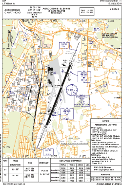
| Name: | Vilnius International Airport |
| ICAO / IATA: | EYVI / VNO |
Details |
| Type: | Airport (Aerodrome, Airfield) |
| Use: | Public/Civil |
| Latitude: | 54°38'13"N (54.636944) |
| Longitude: | 25°17'16"E (25.287778) |
| Elevation: | 648 ft (198 m) |
| Runways: | 1 |
| Longest: | 8251 × 164 ft (2515 × 50 m) |
Time |
| Timezone: | UTC+2 (DST+5) |
| Local Time: | |
Weather |
| METAR: | EYVI | 041420Z 31008KT 280V340 9999 OVC009 M01/M03 Q1021 R01/2///95 NOSIG
|
| TAF: | EYVI | 032311Z 0400/0424 VRB05KT 1500 BR OVC002 TEMPO 0400/0406 0400 DZ FG BECMG 0406/0407 3000 SNRA TEMPO 0407/0409 0600 DZ FG BECMG 33015KT SN OVC005 BECMG 0415/0416 5000 BR OVC010 BECMG 0419/0421 VRB05KT
|
Related Locations |
| Nearby: | |
| Farthest: | CHT: 11208 mi / 18037 km
Waitangi [Tuuta], CIT, NZ |
Find: |
|
Other Information |
Maps:
|
Links:
|
Sources:
|
|