| Location |
| City: | | Fort Huachuca/Sierra Vista, Arizona, United States |
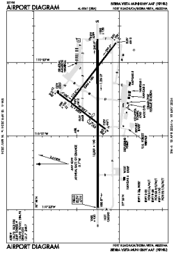
| Name: | Sierra Vista Municipal-Libby AAF |
| ICAO / IATA: | KFHU / FHU |
| FAA: | FHU |
Details |
| Type: | Airport (Airfield) |
| Use: | Public/Civil, Military |
| Latitude: | 31°35'18"N (31.588472) |
| Longitude: | 110°20'40"W (-110.344388) |
| Datum: | WGS 1984 |
| Elevation: | 4719 ft (1438 m) |
| Runways: | 3 |
| Longest: | 12001 × 150 ft (3658 × 45.5 m) |
Time |
| Timezone: | UTC+27:08 (DST+29:08) |
| Local Time: | |
Weather |
| METAR: | KFHU | 041358Z AUTO 00000KT 10SM OVC033 12/06 A2995 RMK AO2 SLP104 T01230059
|
| TAF: | KFHU | 041000Z 0410/0516 20009KT 9999 FEW007 BKN030 QNH2994INS TEMPO 0410/0416 8000 BR BKN015 BECMG 0417/0418 20012G18KT 9999 BKN030 QNH2990INS TEMPO 0418/0501 20020G30KT 520009 BECMG 0500/0501 22009KT 9999 FEW020 SCT060 QNH2990INS BECMG 0515/0516 22012KT 9999 FEW040 SCT100 QNH2992INS TX13/0421Z TN07/0412Z
|
Related Locations |
| Nearby: | |
| Farthest: | RRG: 11529 mi / 18555 km
Plaine Corail [Sir Gaëtan Duval Airport (Plaine Corail Airport)], Rodrigues Island, MU |
Find: |
|
Other Information |
Maps:
|
Links:
|
Sources:
|
|