| Location |
| City: | | Sioux Falls, South Dakota, United States |
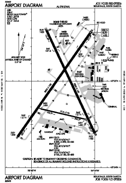
| Name: | Joe Foss Field |
| ICAO / IATA: | KFSD / FSD |
| FAA: | FSD |
Details |
| Type: | Airport (Part 139 Class I) |
| Use: | Public/Civil |
| Latitude: | 43°34'55"N (43.582018) |
| Longitude: | 96°44'31"W (-96.741924) |
| Datum: | WGS 1984 |
| Elevation: | 1430 ft (436 m) |
| Runways: | 3 |
| Longest: | 9000 × 150 ft (2743 × 45.5 m) |
Time |
| Timezone: | UTC+28:08 (DST+31:08) |
| Local Time: | |
Weather |
| METAR: | KFSD | 041356Z 31018G25KT 10SM FEW013 M19/M22 A2997 RMK AO2 PK WND 31027/1338 SLP183 T11891222
|
| TAF: | KFSD | 041132Z 0412/0512 32018G28KT P6SM BKN022
FM041300 32016G26KT P6SM SCT025
FM042200 34012G18KT P6SM SCT110
FM050000 34009KT P6SM BKN100
FM051000 03005KT P6SM OVC028 PROB30 0510/0512 4SM -SN OVC015
|
Related Locations |
| Nearby: | |
| Farthest: | YAUG: 10621 mi / 17093 km
Augusta [Augusta Airport], WA, AU |
Find: |
|
Other Information |
Maps:
|
Delays:
|
Links:
|
Sources:
|
|