| Location |
| City: | | Indianapolis, Indiana, United States |
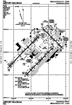
| Name: | Indianapolis International Airport |
| ICAO / IATA: | KIND / IND |
| FAA: | IND |
Details |
| Type: | Airport (Part 139 Class I) |
| Use: | Public/Civil |
| Latitude: | 39°43'02"N (39.717306) |
| Longitude: | 86°17'41"W (-86.294638) |
| Datum: | WGS 1984 |
| Elevation: | 796 ft (243 m) |
| Runways: | 3 |
| Longest: | 11200 × 150 ft (3414 × 45.5 m) |
Time |
| Timezone: | UTC+29:08 (DST+32:08) |
| Local Time: | |
Weather |
| METAR: | KIND | 041354Z 15009KT 10SM FEW070 BKN095 BKN250 08/07 A2984 RMK AO2 SLP107 T00830067
|
| TAF: | KIND | 041123Z 0412/0518 17007KT P6SM BKN080 WS020/22035KT
FM041500 17009KT P6SM VCSH OVC030 WS020/22035KT
FM041800 19010KT 3SM -RA OVC008
FM050000 22008KT P6SM VCSH OVC003
FM050200 27007KT P6SM OVC003
FM051000 35007KT P6SM BKN008
|
Related Locations |
| Nearby: | |
| Farthest: | YAUG: 11202 mi / 18029 km
Augusta [Augusta Airport], WA, AU |
Find: |
|
Other Information |
Maps:
|
Delays:
|
Links:
|
Sources:
|
|