| Location |
| City: | | Islip, New York, United States |
| Near (Alt.): | New York, Ronkonkoma |
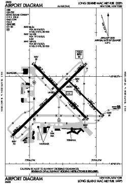
| Name: | Long Island MacArthur Airport |
| ICAO / IATA: | KISP / ISP |
| FAA: | ISP |
Details |
| Type: | Airport (Part 139 Class I) |
| Use: | Public/Civil |
| Latitude: | 40°47'46"N (40.796136) |
| Longitude: | 73°06'02"W (-73.100664) |
| Datum: | WGS 1984 |
| Elevation: | 98 ft (30 m) |
| Runways: | 3 |
| Longest: | 7006 × 150 ft (2135 × 45.5 m) |
Time |
| Timezone: | UTC+29:08 (DST+32:08) |
| Local Time: | |
Weather |
| METAR: | KISP | 041356Z 18003KT 6SM BR FEW250 04/04 A3010 RMK AO2 SLP192 T00440039 $
|
| TAF: | KISP | 041120Z 0412/0512 VRB02KT 4SM BR SCT005 TEMPO 0412/0415 2SM BR
FM041500 22005KT P6SM SCT250
FM042200 18004KT 6SM BR SCT250
FM050000 00000KT 3SM BR FEW020 BKN250
FM050500 00000KT 2SM BR BKN020
|
Related Locations |
| Nearby: | |
| Farthest: | YAUG: 11801 mi / 18992 km
Augusta [Augusta Airport], WA, AU |
Find: |
|
Other Information |
Maps:
|
Delays:
|
Links:
|
Sources:
|
|