| Location |
| City: | | Kenosha, Wisconsin, United States |
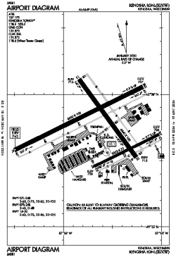
| Name: | Kenosha Regional |
| ICAO / IATA: | KENW / ENW |
| FAA: | ENW |
Details |
| Type: | Airport (Airfield) |
| Use: | Public/Civil |
| Latitude: | 42°35'46"N (42.596063) |
| Longitude: | 87°55'38"W (-87.927323) |
| Datum: | WGS 1984 |
| Elevation: | 742 ft (226 m) |
| Runways: | 3 |
| Longest: | 6600 × 100 ft (2012 × 30.5 m) |
Time |
| Timezone: | UTC+28:08 (DST+31:08) |
| Local Time: | |
Weather |
| METAR: | KENW | 041353Z 21012KT 10SM SCT035 OVC065 09/07 A2964 RMK AO2 SLP039 T00890072
|
| TAF: | KENW | 041125Z 0412/0512 19010KT P6SM OVC080
FM041400 19011KT 3SM -RA BR OVC025
FM041700 22011KT 1SM -RA OVC005
FM041900 25011KT P6SM VCSH OVC005
FM042100 28012KT P6SM BKN010
FM050200 30010KT P6SM SCT040
|
Related Locations |
| Nearby: | |
| Farthest: | YAUG: 11070 mi / 17816 km
Augusta [Augusta Airport], WA, AU |
Find: |
|
Other Information |
Maps:
|
Links:
|
Sources:
|
|