| Location |
| City: | | Pasco, Washington, United States |
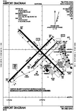
| Name: | Tri-Cities Airport |
| ICAO / IATA: | KPSC / PSC |
| FAA: | PSC |
Details |
| Type: | Airport (Part 139 Class I) |
| Use: | Public/Civil |
| Latitude: | 46°15'53"N (46.264682) |
| Longitude: | 119°07'08"W (-119.119023) |
| Datum: | WGS 1984 |
| Elevation: | 410 ft (125 m) |
| Runways: | 3 |
| Longest: | 7707 × 150 ft (2349 × 45.5 m) |
Time |
| Timezone: | UTC+26:08 (DST+29:08) |
| Local Time: | |
Weather |
| METAR: | KPSC | 041353Z AUTO 33015KT 10SM BKN020 M02/M05 A2950 RMK AO2 SLP991 T10171050 $
|
| TAF: | KPSC | 041120Z 0412/0512 31010KT P6SM OVC100
FM041700 34012G22KT P6SM SCT020 OVC100
FM042100 33015G25KT 1/4SM +SN BLSN VV004
FM050600 29012G20KT 3SM -SN BLSN OVC010
FM051000 29006KT 5SM -SHSN BR OVC012
|
Related Locations |
| Nearby: | |
| Farthest: | FAME: 11346 mi / 18260 km
Marion Island, Prince Edward Islands, WC, ZA |
Find: |
|
Other Information |
Maps:
|
Delays:
|
Links:
|
Sources:
|
|