| Location |
| City: | | Kansas City, Missouri, United States |
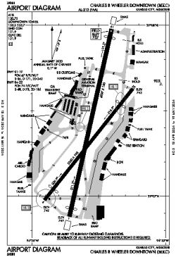
| Name: | Charles B Wheeler Downtown Airport |
| ICAO / IATA: | KMKC / MKC |
| FAA: | MKC |
Details |
| Type: | Airport (Part 139 Class IV) |
| Use: | Public/Civil |
| Latitude: | 39°07'23"N (39.122936) |
| Longitude: | 94°35'34"W (-94.592822) |
| Datum: | WGS 1984 |
| Elevation: | 756 ft (230 m) |
| Runways: | 2 |
| Longest: | 6827 × 150 ft (2081 × 45.5 m) |
Time |
| Timezone: | UTC+28:08 (DST+31:08) |
| Local Time: | |
Weather |
| METAR: | KMKC | 041354Z 32010KT 8SM OVC006 01/M01 A2981 RMK AO2 SLP094 T00111011
|
| TAF: | KMKC | 041134Z 0412/0512 34012G24KT P6SM VCSH SCT008 BKN015 TEMPO 0412/0415 3SM SHRA OVC008
FM042100 01011KT P6SM SCT030
|
Related Locations |
| Nearby: | |
| Farthest: | YAUG: 10766 mi / 17327 km
Augusta [Augusta Airport], WA, AU |
Find: |
|
Other Information |
Maps:
|
Links:
|
Sources:
|
|