| Location |
| City: | | Salisbury, Maryland, United States |
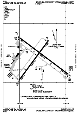
| Name: | Salisbury-Ocean City Wicomico Regional |
| ICAO / IATA: | KSBY / SBY |
| FAA: | SBY |
Details |
| Type: | Airport (Part 139 Class I) |
| Use: | Public/Civil |
| Latitude: | 38°20'25"N (38.340189) |
| Longitude: | 75°30'34"W (-75.509477) |
| Datum: | WGS 1984 |
| Elevation: | 52 ft (16 m) |
| Runways: | 2 |
| Longest: | 6400 × 100 ft (1951 × 30.5 m) |
Time |
| Timezone: | UTC+29:08 (DST+32:08) |
| Local Time: | |
Weather |
| METAR: | KSBY | 041354Z 00000KT 7SM CLR 06/04 A3009 RMK AO2 SLP193 T00560039
|
| TAF: | KSBY | 041139Z 0412/0512 03003KT P6SM BKN200 TEMPO 0412/0413 4SM BR
FM041500 03005KT P6SM BKN120
FM050000 VRB02KT P6SM BKN250
|
Related Locations |
| Nearby: | |
| Farthest: | YAUG: 11785 mi / 18967 km
Augusta [Augusta Airport], WA, AU |
Find: |
|
Other Information |
Maps:
|
Delays:
|
Links:
|
Sources:
|
|