| Location |
| City: | | San José, California, United States |
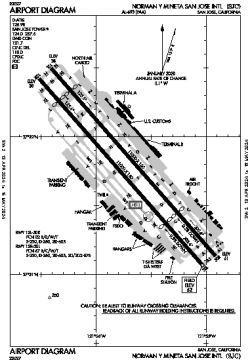
| Name: | San José Mineta International (Norman Y. Mineta San José International) |
| ICAO / IATA: | KSJC / SJC |
| FAA: | SJC |
Details |
| Type: | Airport (Part 139 Class I) |
| Use: | Public/Civil |
| Latitude: | 37°21'47"N (37.362995) |
| Longitude: | 121°55'43"W (-121.928620) |
| Datum: | WGS 1984 |
| Elevation: | 62 ft (19 m) |
| Runways: | 2 |
| Longest: | 11000 × 150 ft (3353 × 45.5 m) |
Time |
| Timezone: | UTC+26:08 (DST+29:08) |
| Local Time: | |
Weather |
| METAR: | KSJC | 041353Z 00000KT 10SM FEW001 BKN025 OVC100 09/09 A2958 RMK AO2 RAB04E32B38E50 SLP014 P0001 T00940089 $
|
| TAF: | KSJC | 041138Z 0412/0512 15012G18KT P6SM -SHRA SCT025 BKN035 OVC045
FM041400 15016KT P6SM -SHRA SCT025 BKN040
FM042200 24013KT P6SM -SHRA OVC040
FM050600 19009KT P6SM -SHRA OVC050
|
Related Locations |
| Nearby: | |
| Farthest: | FTU: 11363 mi / 18287 km
Tolagnaro [Maurillac Airport (Fort Dauphin Airport)], MG |
Find: |
|
Other Information |
Maps:
|
Delays:
|
Links:
|
Sources:
|
|