| Location |
| City: | | St. Louis, Missouri, United States |
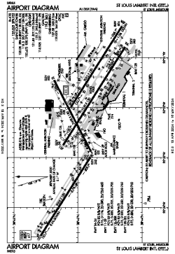
| Name: | St. Louis Lambert International Airport |
| ICAO / IATA: | KSTL / STL |
| FAA: | STL |
Details |
| Type: | Airport (Part 139 Class I) |
| Use: | Public/Civil |
| Latitude: | 38°44'55"N (38.748698) |
| Longitude: | 90°22'12"W (-90.370025) |
| Datum: | WGS 1984 |
| Elevation: | 617 ft (188 m) |
| Runways: | 4 |
| Longest: | 11020 × 150 ft (3359 × 45.5 m) |
Time |
| Timezone: | UTC+28:08 (DST+31:08) |
| Local Time: | |
Weather |
| METAR: | KSTL | 041351Z 14009KT 10SM FEW028 BKN034 OVC048 13/11 A2975 RMK AO2 RAB01E22 SLP073 P0000 T01280106
|
| TAF: | KSTL | 041120Z 0412/0518 15009KT P6SM SCT015 OVC020
FM041400 18008KT P6SM OVC018
FM041800 23009KT P6SM VCSH OVC014
FM042100 32012G20KT P6SM OVC008
FM042300 33012KT P6SM OVC015
FM050300 34007KT P6SM BKN015
|
Related Locations |
| Nearby: | |
| Farthest: | YAUG: 10995 mi / 17695 km
Augusta [Augusta Airport], WA, AU |
Find: |
|
Other Information |
Maps:
|
Delays:
|
Links:
|
Sources:
|
|