| Location |
| City: | | Trenton, New Jersey, United States |
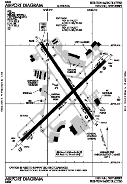
| Name: | Trenton Mercer Airport |
| ICAO / IATA: | KTTN / TTN |
| FAA: | TTN |
Details |
| Type: | Airport (Part 139 Class I) |
| Use: | Public/Civil |
| Latitude: | 40°16'36"N (40.276694) |
| Longitude: | 74°48'48"W (-74.813471) |
| Datum: | WGS 1984 |
| Elevation: | 212 ft (65 m) |
| Runways: | 2 |
| Longest: | 6006 × 150 ft (1831 × 45.5 m) |
Time |
| Timezone: | UTC+29:08 (DST+32:08) |
| Local Time: | |
Weather |
| METAR: | KTTN | 041353Z 00000KT 5SM BR CLR 00/M01 A3010 RMK AO2 SLP189 T00001011
|
| TAF: | KTTN | 041120Z 0412/0512 VRB03KT 5SM BR SCT250
FM041400 VRB03KT P6SM SCT250
FM050300 VRB03KT 6SM BR BKN200
FM050900 VRB03KT 4SM BR OVC100
|
Related Locations |
| Nearby: | |
| Farthest: | YAUG: 11753 mi / 18915 km
Augusta [Augusta Airport], WA, AU |
Find: |
|
Other Information |
Maps:
|
Links:
|
Sources:
|
|